
Methodology
Methodology
Heat Vulnerability Index (HVI) identifies areas that are most vulnerable to heat by combining three indicators: Exposure, Susceptibility, and Adaptive Capacity.
- The HVI is done at two different spatial levels: Census Block Group and Census Block.
- The HVI Scores in this dashboard range from 0 to 1. The higher the score, the higher the vulnerability to heat is for those community members. The lower the score, the less vulnerability to heat those community members have. It is important to remember that regardless of score, everyone is impacted by extreme heat and heat waves in some way.
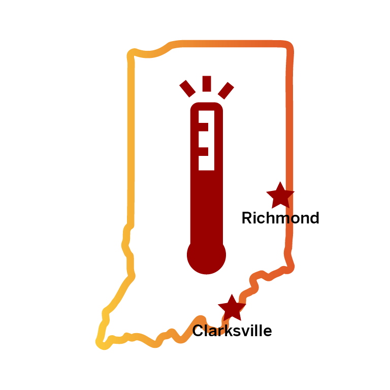
- The Heat Vulnerability Mapping Tool (HVMT) covers every Census Block Group and Block within the municipal boundaries of the City of Richmond and the Town of Clarksville.
The Exposure Indicator looks at the temperature or heat index at a hyperlocal scale that a community experiences on a hot day. Exposure can vary drastically across communities, and it is not experienced equally. High levels of impervious surface can increase exposure, while high levels of tree canopy coverage can decrease exposure.
Heat Watch Campaign
In 2021, Richmond and Clarksville were selected to be a part of the NOAA Urban Heat Island Mapping Campaign. This campaign is a joint endeavor between the National Integrated Heat and Health Information System and CAPA Strategies to provide communities with high resolution near surface air temperature and heat index maps. The data is collected by temperature sensors attached to either community volunteer’s cars or bikes at 3 different times of the day (Morning, Afternoon, Evening) and following predetermined routes. Richmond and Clarksville participated in the heat watch campaign on August 23, 2021.
The Susceptibility Indicator looks at the pre-disposed risks and vulnerabilities individuals and households have to extreme heat. Systemic inequities in society create and exacerbate the increased risk to heat related illness or death these vulnerable populations face.
The Susceptibility scores are calculated by taking eight equally weighted sociodemographic variables that contribute to a heightened risk of heat related illness or death. The indicators come from the US Census Bureau American Community Survey’s 2018-2022 5-Year Estimates. The higher the Susceptibility score, the higher the vulnerability. The Susceptibility Indicators included in this HVI are:
The Adaptive Capacity Indicators examine how much capacity individuals and households posses to respond to an extreme heat event.
The Adaptive Capacity Scores were calculated using four equally weighted indicators that correspond with one’s ability to adapt during an extreme heat event or period of hot weather. The data for the adaptive capacity indicators came from the US Census Bureau American Community Survey’s 2018-2022 5-Year Estimates and from the Indiana Data Harvest 2022 Department of Local Government Finance Real Property Geodatabase.
The Local Context layers allow for users to further refine their searches and identification of areas in their community with a heightened risk to extreme heat. As these layers correspond with the local context and built environment, they provide a picture of the landscape the community members are living in. The data for these layers came from the 2019 National Land Cover Data Set, the 2021 National Land Cover Map Data Set, US Census Bureau 2020 Decennial Census, and City of Richmond Building data.
Priority groups were selected based upon their Susceptibility, Adaptive Capacity, and Exposure scores. Priority Group 1 contains block groups with the highest overall scores and therefore has the highest levels of heat vulnerability. For more information on Priority Logic please review detailed methodology.